Parks, conservation, protection and reserve areas[]
National Park = NONE, but Manor Park is designated as a Country Park
Area of Outstanding Natural Beauty
West Malling has no areas designated as of Outstanding Natural Beauty
Heritage Coast
West Malling has no coastline
Number of Conservation Areas
There are three Conservation areas in the Parish; one covering the majority of the nucleated town, and two others covering the hamlets of New Barns, Lavenders Road, and St Leonard's, St Leonard’s Street.
The West Malling Conservation Area as described in the November 2002 booklet published by the Planning & Engineering Services of Tonbridge & Malling Borough Council contains the following Sub Areas
- The Historic Town Centre
- The Abbey & Monastery
- The area containing the Old County (Cricket) Ground
- Police Station Road & Frog Lane
- Douces Manor
- Malling House and the Hermitage
- St Leonard’s St & Tower
Number of RAMSAR sites (international bird conservation areas)
Number of special protection areas = NONE
Number of special areas of conservation = NONE
Number of National Nature Reserves = NONE
Number of Local Nature Reserves = NONE
Sites of special interest[]
Number of Sites of Special Scientific Interest = NONE
Number of sites of importance for nature conservation = NONE
Number of listed buildings/scheduled ancient monuments
The Town Malling Walk identifies 22 buildings and points of interest, many of them listed.
The 22 in the walk are
- St Leonard’s Tower
- Douce’s Manor
- St Mary The Virgin Church
- Church House
- Tudor House
- The Old Vicarage
- Forsters & Wisteria House
- The Farmhouse (formerly The Bear Pub)
- The 5 Pointed Star Pub
- Mackenzie’s (pre-Tudor)
- The Colonnade malt loft part medieval
- King Street original drovers route thru West Malling
- Village Sign & Hope Statue
- The Bull Pub & Town Hill part 14 century farmhouse
- The Bakery Restaurant 15th Century House
- Baldock’s Shop medieval
- Assembly Rooms 18th century (Sylvesters Restaurant)
- The Swan Pub 17th century Inn
- Malling Abbey dating circa 1090
- The Cascade – 18 / 19th century water feature
- Went House – Queen Anne House
- Mill Yard and Craft Centre
Footpath, bridleways and trails[]
Number of footpaths
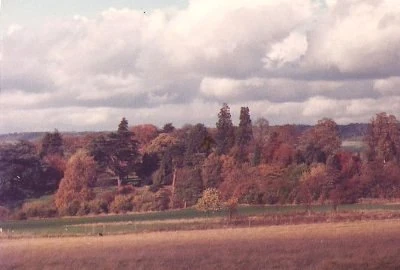
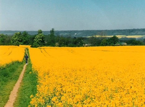
Numerous traditional footpaths exist from West Malling to Offham; East Malling; Ryarsh; Teston etc
Number of bridleways – 2 in West Malling and a network between Kings Hill/Offham/Mereworth, additionally there are restricted byways around Manor Park and at Tower Farm.
Number of National Trails
NONE, but 3 or 4 local trails documented
Number of cycle paths
There are no cycle paths in the West Malling area at present although it is understood that one will be designated from Kings Hill to West Malling station along the A228 route
Number of byways open to all traffic - None